Engineering the Future with Absolute Precision.
Rajasthan's premier consultancy firm delivering advanced DGPS land surveying and expert end-to-end Jaipur Development Authority (JDA) town planning services.

Trusted Across Rajasthan
Preferred Consulting Partner for Public and Private Projects
Premium Standards
Built for High-Stakes Infrastructure Decisions
Every deliverable is engineered for approval confidence, legal resilience, and execution speed.
Certified Quality Systems
Structured QA workflows with multi-layer validation before submission and deployment marking.
Regulatory Reliability
Compliance-ready maps, formats, and filing trails designed to reduce rejection cycles and delay costs.
Executive-Level Reporting
Clear stakeholder dashboards and technical summaries for developers, architects, and investors.
Our Capabilities
Comprehensive Engineering Solutions
Delivering precision data and managing complex bureaucratic workflows for seamless infrastructure development.
JDA Town Planning & Complete Filing
End-to-end management of Jaipur Development Authority files. We handle layout drafting, subdivision plats, sector plan alignment, rigorous documentation, and relentless approval tracking.
DGPS & Topo Surveying
High-precision land surveying utilizing multi-frequency differential GPS for sub-centimeter accuracy.
GIS & Mobile Mapping
Advanced sensor deployment for roadway data collection and spatial data integration.
Layout Marking & Site Staking
Accurate physical translation of approved blueprints to the terrain. Ensuring exact placement for utilities, roads, and structural foundations before construction begins.
Our Methodology
Streamlined Project Lifecycle
A systematic approach ensuring legal compliance, engineering accuracy, and timely delivery.
Consultation
Evaluating site goals, legal requirements, and JDA bylaws.
Precision Survey
Deploying DGPS and total stations to capture exact topography.
Drafting & Planning
Creating fully compliant subdivision layouts and maps.
JDA Approval
Filing documentation and tracking through to final greenlight.
Client Success
Trusted by Industry Leaders
"Daksh Consultancy took over our stalled township project. Their expertise in JDA bylaws and precise documentation got our files cleared in record time. Absolute professionals."
Rajendra Singh
Director, Skyline Developers"The topographical data provided for the industrial park was flawless. Their DGPS equipment is top-tier, and the engineering layout marking was executed perfectly."
Amit Khandelwal
Chief Engineer, RIICO Projects"We rely on Daksh for all our preliminary site surveys and MEP layout planning. They are tech-forward, reliable, and their reporting is extremely comprehensive."
Pooja Jain
Lead Architect, UrbanSpaceWho We Are
About Daksh Consultancy
Founded with a vision to bring unparalleled precision to India's infrastructure boom, we stand at the intersection of advanced technology and rigorous civil engineering.
Our Mission & Vision
We bridge the gap between ambitious planning and precise execution. Our mission is to provide developers, government bodies, and architects with the most accurate geodetic data and seamless town planning experiences available.
From deploying the latest DGPS receivers in harsh terrains to navigating the complex bylaws of the Jaipur Development Authority (JDA), we ensure every project starts on solid, meticulously measured ground.
Expert Team
Veteran surveyors, civil engineers, and seasoned JDA liaisons.
Tech-First
Continuous adoption of next-gen mapping and GIS solutions.

Our Services
Comprehensive, end-to-end surveying and planning solutions.
JDA Town Planning & Complete Filing
Navigating Jaipur Development Authority (JDA) regulations requires deep localized expertise. We handle the entire lifecycle of land development approval, mitigating legal risks and avoiding costly delays.
Drafting & Map Creation
Preparing accurate topographical and subdivision maps strictly compliant with JDA bylaws and sector plans.
Documentation & Filing
Managing tedious paperwork. Ensuring layouts, setbacks, and utilities are represented and submitted perfectly.
Approval Tracking & Liaison
Acting as your dedicated liaison between property developers and planning authorities to quickly secure final project greenlights.
Land & Topo Surveying
High-precision DGPS and Total Station surveys. Detailed documentation of natural and manmade conditions to sub-centimeter accuracy.
Engineering & MEP Surveying
Specialized surveying for transportation networks, water distribution, energy sectors, and complete Engineering MEP Design mapping.
GIS & Mobile Mapping
Utilizing mobile sensors for rapid roadway/railway data capture. Integration with advanced GIS software for spatial data analysis.
Layout Marking & Staking
Physical site staking for utilities, roads, and plots. Transferring approved CAD layouts onto the physical terrain with total reliability.
Geodetic Control Networks
Establishing highly accurate foundational geodetic frameworks for large-scale infrastructure and regional development projects.
Construction Monitoring
Ongoing survey support during the construction phase to ensure structures align perfectly with the original design specs.
Prestigious Projects
A showcase of our high-profile infrastructure and real estate portfolio across Rajasthan.
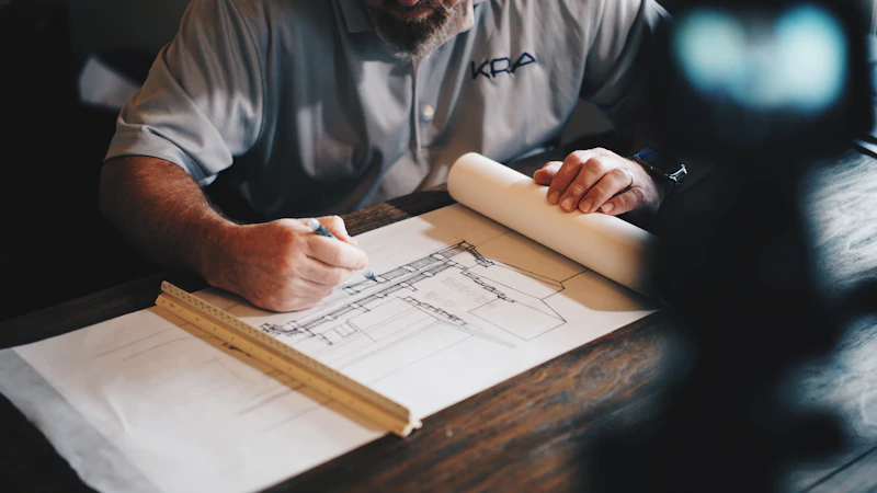
Jagatpura Residential Township

Jaipur Metro Phase II Alignment

Bhilwara Industrial Park

Chambal Riverfront Development

Mansarovar Commercial Complex

State Highway 12 Expansion
Technology & Equipment
Precision demands the best tools. We continually invest in state-of-the-art surveying instruments.
DGPS & GNSS Receivers
Utilizing multi-frequency, multi-constellation Differential GPS systems for sub-centimeter accuracy. Essential for large topographic surveys, establishing control points, and boundary demarcation.
- RTK (Real-Time Kinematic) Surveying
- Static & Fast Static Observation
Robotic Total Stations
Advanced optical instruments that integrate electronic theodolites with electronic distance meters (EDM). Vital for dense urban environments, site staking, and structural monitoring.
- Reflectorless Measurement
- Automated Target Recognition
Advanced GIS & CAD Software
The bridge between field data and final deliverables. We utilize industry-standard software to process point clouds, generate contours, and draft JDA-compliant subdivision layouts.
- AutoCAD Civil 3D
- ArcGIS Pro & QGIS
Mobile & Drone Mapping
UAV (Unmanned Aerial Vehicle) photogrammetry and mobile LiDAR scanning for rapid data acquisition over massive areas. Perfect for highway alignments and volumetric calculations.
- High-Res Orthomosaics
- Digital Elevation Models (DEM)
Get in Touch
Ready to start your next project? Contact us for a consultation regarding surveying, planning, or JDA approvals.
Office Address
Daksh Consultancy
789 Tech Park Avenue, Mansarovar
Jaipur, Rajasthan 302020
India
Phone
+91 8559858860
info@dakshconsultancy.in
projects@dakshconsultancy.in
Send us a Message
Message Sent Successfully!
Thank you for reaching out. Our team will contact you shortly.
Strategic Consultation
Need an Approval-Ready Survey and Planning Partner?
Book a focused 30-minute planning call and receive a structured execution roadmap for your site.